The rest of the website is in French.
CHEMIN CHOUETTE 07
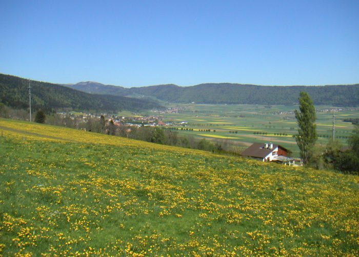
Views of the Swiss Plateau, the Alps and the hills surrounding the valley.
THE ROUTE
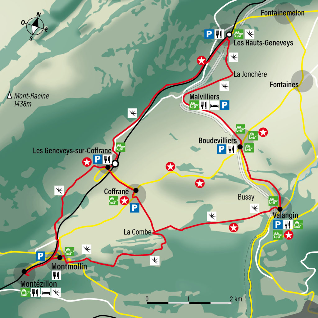
Les Hauts-Geneveys → Coffrane → Valangin ; other route options available
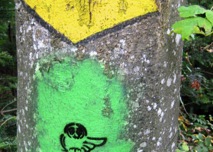
FIND YOUR WAY
Choose a route option that suits your time and interests. The times shown do not include breaks.
CHOOSE YOUR ROUTE
ROUTE OPTION
10 km · 2 h 24Elevation change: +70 m / −374 m
16.4 km · 4 h 05Elevation change: +240 m / −650 m
6.5 km · 1 h 35Elevation change: +40 m / −340 m
10.6 km · 2 h 40Elevation change: +260 m / −260 m
ALONG THE WAY
Check route conditions and transport timetables. Bring suitable equipment and read the practical information.